A portfolio of our cartographic work. All our maps are done with open source apps (primarily QGIS). Besides making our own maps we also do freelance work. Contact us (simon@cartisan.org) if you are interested in working together.
Trailhead Maps
These large format maps get installed at hiking trailheads. The main challenge was to create a design that is appealing and helpful to hikers no matter what their map reading skills are.


Topographic Hiking Maps
Our main product is the classic topographic paper map. We put a lot of work into collecting and verifying the geodata from sources ranging from historic soviet maps to our own drone imagery. For each map it takes about 1 year to research, collect, validate the data & design the map. We cherry pick the best hiking areas for our maps (so far exclusivly in Armenia, but we plan on expanding gradually to other off the beat areas).


Classic Explorer Map
I love the design of maps created during the “Golden Age of Exploration” in the early 20th century. This is my attempt at replicating that design. Prints are available on our redbubble shop.


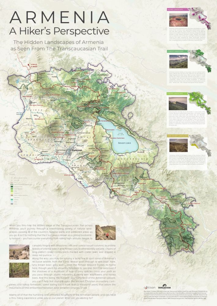
Armenia Hiking Poster Map
One of our first larger mapping projects, created as a perk for our initial crowd funding campaign. Even though I would do a few things differently now I think the design has held up suprisingly well. The poster is also available on our redbubble store.


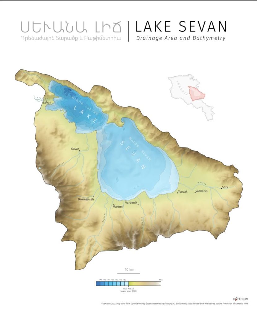
Other Projects
Some other maps I made that I like. The bathymetry map poster is available on our redbubble store


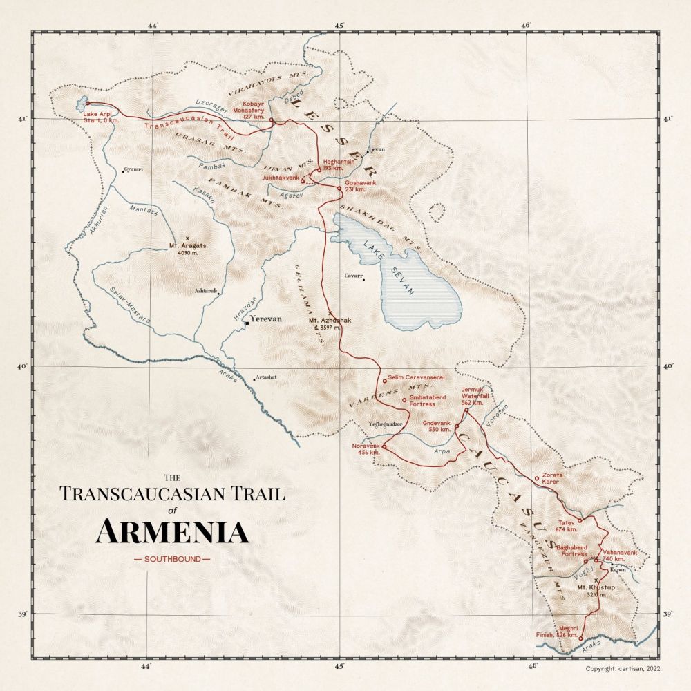
Wikipedia Map
We were asked to make a public domain map for wikipedia. It was a nice chance to experiment with some new design techniques, though I may have occacionally overdone it (looking at you, trail outer glow). Used in the Transcaucasian Trail wikipedia article.


1 Comment
Eston S · 15. February 2023 at 03:18
Love your work! Great use of natural color and hillshade. It’s masterful concept to apply the Classic Explorer map style and the choice of font you used in these works. I’ll keep that style in mind.