We recently had the chance to sit down and talk to Kyle at HIKEArmenia about why we make maps for Armenia, and about why the way we make them is important to us.
Thanks HIKEArmenia for the opportunity to share a piece of what goes on “under the hood”! Article originally posted at medium.com/the-hikearmenia-blog/mapping-armenia-cf90adc20228
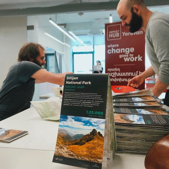
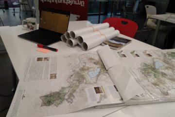
The Dilijan National Park map is the first topographical map ever made for hikers in Armenia. Its creator, Cartisan, hopes to map hiking routes across the Caucasus region, using open-source data.
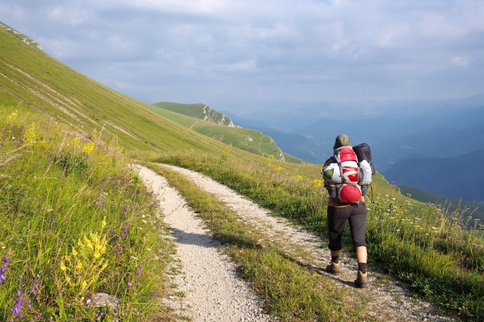
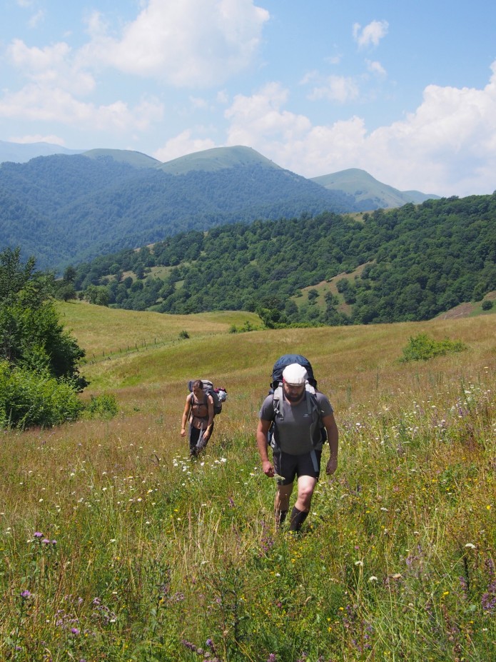
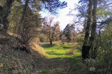
There are over 150km of hiking trails in Dilijan National Park, located in Armenia’s northeast Tavush Province. That’s over 150km of lush forests, jagged cliffs, quaint villages, alpine lakes, and medieval monasteries. And while all these trails are marked and ready to be hiked (some are part of the long-distance Transcaucasian Trail and Janapar Trail), up until recently, there were no modern maps of Armenia’s most famous hiking destination — or any other part of the country, for that matter!
Enter Alessandro Mambelli: Italian by birth, IT engineer by training, and now Armenia’s newest mapmaker. Alessandro is co-founder of Cartisan, a small mapping organization creating topographic maps of the Caucasus region.
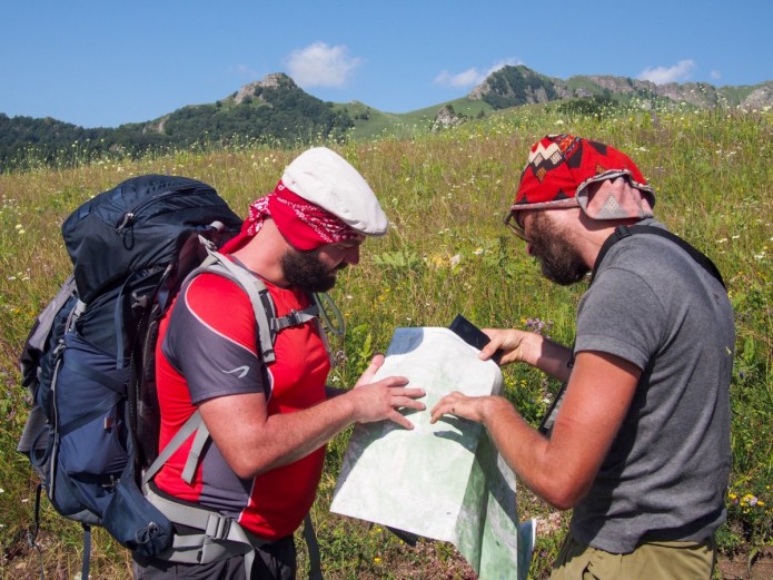
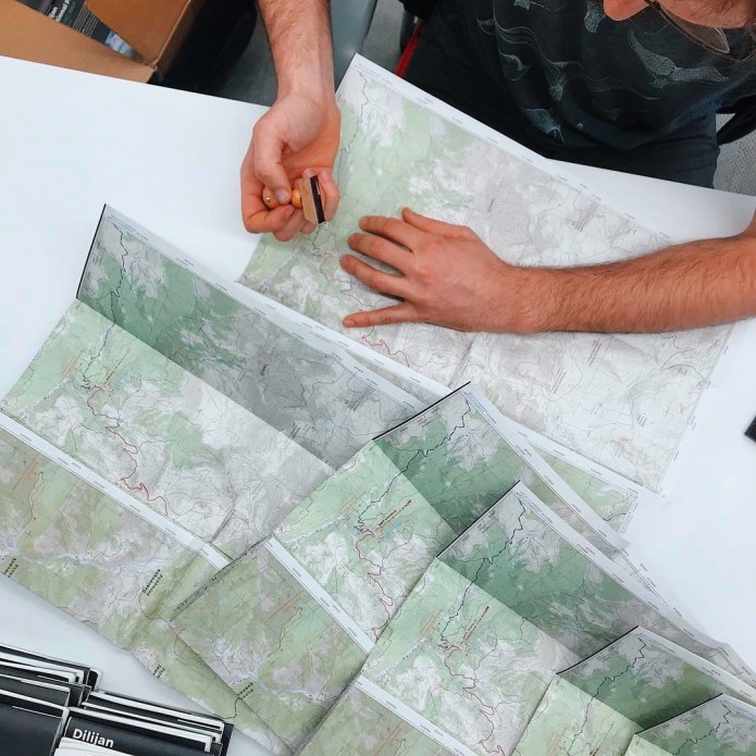
Cartisan just released their first map: a crowdsourced map of Dilijan National Park created in close cooperation with local partners who know the park inside and out, namely the Transcaucasian Trail (TCT). What’s it like to create a 1:25,000-scale topographic hiking map of an area that has never been mapped before, with the exception of now declassified Soviet-era military maps? Challenging, says Alessandro.
“We created something that wasn’t there before, which will serve hikers, cyclers, travelers — anyone wanting to experience what Dilijan has to offer. It was a long process, but it feels good to have crafted something that someone can actually use, with the help of OSM and other open-source software.”
Using open-source data is important to Cartisan’s mission and process. “The first thing we do is go into an area to remotely survey and collect all sorts of data sources, which we then process and add into OpenStreetMap [OSM], which is like the Wikipedia of maps; it’s a community-driven effort to create a free map of the world, that anyone can contribute to, and use. We then use that data to make our own maps, like the map of Dilijan. We want everyone to have the best hiking experience they can have, regardless of whether they use our maps, which is why we improve OSM first. Most mobile apps like HIKEArmenia use OSM for their navigation, which means its maps were improved by our work. It’s an important, and nice byproduct of our mapping process.”
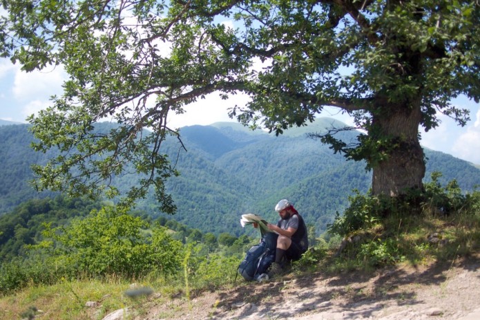
But how did Alessandro and his team end up putting Armenia on the map, literally, in the first place? “While on a break from my work in tech in 2016, I joined the Transcaucasian Expedition as a volunteer. It was an exploratory journey to find the best routes for what will one day be the complete Transcaucasian Trail. While scouting the southern portion of the TCT route in Armenia between the Iranian border and Georgia’s Black Sea coast, my responsibility was collecting data that trail developers would then use to build the trail network in Armenia.”
“The experience awakened my long-lost love for maps. I can remember spending time flipping through pages of atlases as a child. For me, exploring maps was like daydreaming about future trips. But when I was in Armenia with TCT, I learned that there were no hiking maps of Armenia available, something we really take for granted in other parts of the world. I like hiking, and I like maps, so I decided to go deeper into mapmaking.”
Alessandro began studying open-source software at the American University of Armenia while the Transcaucasian Expedition was still ongoing. That’s when Simon Polster, a volunteer from Germany and a geographer himself, got in touch about helping the TCT map their route in Armenia. Alessandro and Simon began working together, and soon they created Cartisan. Dilijan National Park was selected by TCT for their first project, and Cartisan jumped on board to make their first topo map.
“Dilijan was the most developed area in Armenia for hiking. TCT, Trails For Change NGO [TFC], and other organizations went in to improve existing routes and the hiking experience, by creating brand new trails as well. The next thing to do was create a proper hiking map, which after extensive research, both of existing data and data collected by volunteers on exploratory missions into the park, is now complete. We’re very excited to continue creating products for hikers to use wherever TCT is.”
The Dilijan National Park hiking map will be available to the public worldwide beginning April 27. You can pre-order a copy, or find them right now at the HIKArmenia Information Center in Yerevan, and at the Dilijan Tourist Information Center. Supporters who gave to Cartisan’s crowdfunding campaign to have the maps printed can expect their maps any day now, pending post.
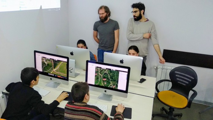
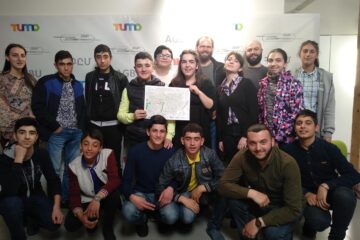
As part of the crowdfunding campaign, Cartisan offered to teach open mapping to students across Armenia, free of charge. Since the campaign was a success, Alessandro and Simon are currently fulfilling that promise in Dilijan, teaching OSM to 10 students at the local TUMO Center. They’ll be visiting every TUMO center in Armenia till the end of May, including the center in Stepanakert, Artsakh (Nagorno-Karabakh), to introduce students to the world of maps.
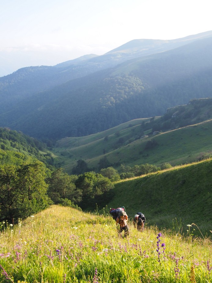
For those who are ready to hike Dilijan’s trails but unsure of where to start, Alessandro has some recommendations. “One of the most beautiful and accessible parts of the park, in my opinion, is at the southern end, between Dilijan and Gosh village. It’s a forested area and the trails there are easy and approachable. What are really awesome though, and require some effort, are the trails between Jukhtakvank Monastery and Hovk village. The cliffs above Hovk are just spectacular, it feels like you’re in a fantasy movie. The views are breathtaking, and the effort it takes to hike these trails is repaid very well — with interest.”
0 Comments